|
Work on this project is contingent on funding. So far, project participants have
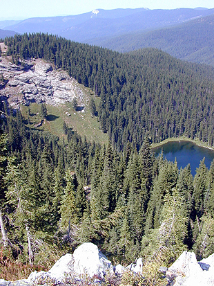
identified over one hundred and twenty geographic sites and have already
visited twenty of them, inputting data entries in both English and Coeur
d'Alene languages. In the first seven months of the project, the team collected
information that included fourteen hours of raw video, eighteen hours of raw
audio, and approximately six hundred and sixty digital still photos. All raw
information is captured in digital form and archived in its original recorded
state. Edited video and audio clips will be attached to GIS maps for use in
other computer presentations such as Power Point and websites.
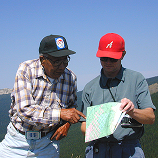
 Photogaphy
by James Twoteeth, Raymond Brinkman,
Photogaphy
by James Twoteeth, Raymond Brinkman,
and John Hartman and the Names-Places team
For more information, contact
John Hartman
Coeur d'Alene Tribal GIS
850 A Street
P.O. Box 408
Plummer, Idaho 83851
Phone: 208.686.8402
Fax: 208.686.1901
E-mail:
hartmanj@cdatribe-nsn.gov
|

|
Debate is on going regarding public access to all data because certain Tribal
sites, such as burial grounds, are culturally sensitive information, which
require Tribal protection. Therefore, the information continues to be
preserved, but how this sensitive information will be distributed is still
under consideration. The GIS format makes the Tribe's cultural history
accessible to the next up and coming generations. Through interactive maps, a
viewer can mouse click on a map site, which then drills in for closer
inspection. Information drops down about the site offering perhaps up to three
or four perspectives that might include a story told by an elder in both Coeur
d'Alene and English, a history, as well as the site's videos and slides. Most
Tribal GIS data will be served across the Tribal Intranet and placed on CD ROM
for the planned local museum's kiosk.
|
|
© Coeur
d'Alene Tribe 2001
|
|