Extracting Building
Footprints from LiDAR and Aerial Imagery in the Wildland Urban Interface:
Catastrophic
fires in the wildland urban interface (WUI) have led to the destruction of many
homes in recent years. Consequently, there is an effort to map, model, and
protect these areas from wildland fire. The extraction of building information
from remotely sensed data has shown potential to automate some of these
efforts. This study compares several methods of extracting building footprints
using Light Detection and Ranging (LiDAR) data as well as a combination of
LiDAR data and color aerial imagery. The various methods are discussed and
accuracy assessments of the methods utilized are presented. In addition,
limitations of the examined methods are described along with the challenges
encountered when applying these methods to large diverse landscapes. Finally,
directions for future research relating to building information extraction are
identified.
To view more information on this project please download the powerpoint slides by clicking
here.
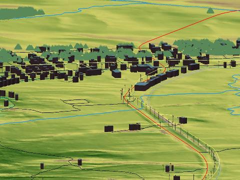
Extracted Building Footprints and Tree Stem Locations in Worley, Idaho