Forest Fuels Data Collection:
During the summer and fall of 2005, the Coeur d’Alene Tribe brought a team of interns
from
The Student
Conservation Association
(SCA) to the
reservation. The SCA team was hired to work with the GIS office to collect data
on forested land. The GIS department is going to use the data to develop a
fuels map of the reservation to help them assess wildfire risk and danger to
structures in the Wildland Urban Interface.
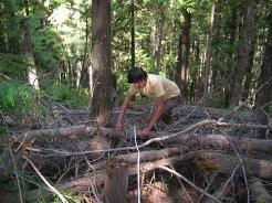
The SCA team collected much of their data on Continual Forest Inventory (CFI)
plots located on forested land owned by the Tribe. The team also collected data
on lands owned by Potlatch, Inland Empire Paper, and the Idaho Department of
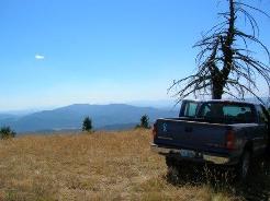
Lands. Though most data was collected within the reservation itself, the team
also spent a large amount of time in the surrounding Benewah County Area.
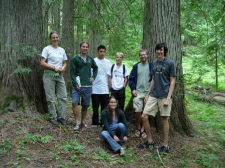
For nine weeks during the summer, the SCA team had the chance to work with
tribal youth interns. These youth (ages 14-16) were hired by the Tribe for the
summer to work with the GIS office and SCA crew. Two different groups of four
interns helped collect data with the SCA team. The tribal youth saw a lot of
rarely visited land around the reservation, and got the chance to navigate to
work locations using GPS units.
A complete report of
the SCA's activities on the Coeur d'Alene Reservation can be found as a PDF
from this link.